Building Code Glossary
Flood Insurance Rate Map (FIRM): Building Code Definition
How the IBC 2009 define flood insurance rate map (firm), where the wording differs, and which chapters depend on the term.
On this page
Last updated September 7, 2026 · Definitions quoted from the 2009 International Codes as transcribed in this site's building-codes collection, with the source chapter linked for each quotation. Usage counts are computed over the chapters hosted here, one copy per code. The [ICC code library](https://codes.iccsafe.org/codes) publishes the current model text and the [ICC adoption maps](https://www.iccsafe.org/advocacy/code-adoption-maps/) show which edition a jurisdiction has adopted; those sources control.
Direct answer
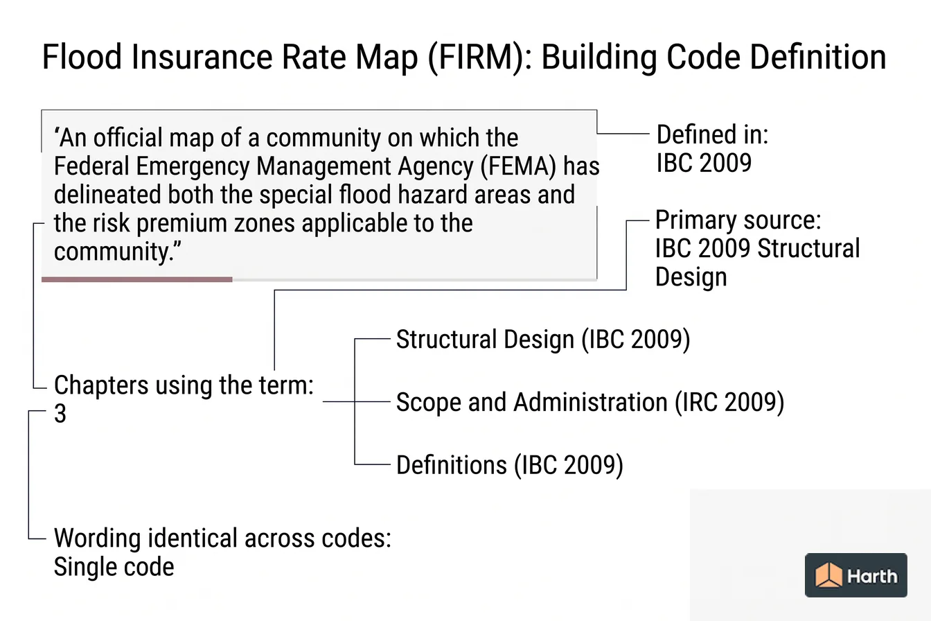
Flood insurance rate map (firm) is a defined term in the International Building Code (IBC) 2009, in Structural Design. The code's own words are: “An official map of a community on which the Federal Emergency Management Agency (FEMA) has delineated both the special flood hazard areas and the risk premium zones applicable to the community.” No other I-Code in this corpus defines it, so the IBC 2009 definition is the one to work from. The term is used in 3 chapters of this corpus, most often in Structural Design (IBC 2009), Scope and Administration (IRC 2009), Definitions (IBC 2009). These pages transcribe the 2009 model text; verify the definition against the edition and amendments your authority having jurisdiction has adopted.
Content and cited inputs reviewed by Scott Barrington, Harth founder and architectural technology specialist · Published 2026-09-07 · Updated 2026-09-07.
What does this term mean?
Flood Insurance Rate Map (FIRM) — IBC 2009, Structural Design:
An official map of a community on which the Federal Emergency Management Agency (FEMA) has delineated both the special flood hazard areas and the risk premium zones applicable to the community.
What must be verified before using this guidance?
Flood Insurance Rate Map (FIRM) is defined once in this corpus, in the Structural Design chapter of the International Building Code (IBC) 2009:
An official map of a community on which the Federal Emergency Management Agency (FEMA) has delineated both the special flood hazard areas and the risk premium zones applicable to the community.
Where flood insurance rate map (firm) is used in the code
The term appears in 3 chapters of the 2009 I-Codes hosted here. The chapters that lean on it hardest are the ones to read next.
| Chapter | Code | Mentions |
|---|---|---|
| Structural Design | IBC 2009 | 7 |
| Scope and Administration | IRC 2009 | 2 |
| Definitions | IBC 2009 | 1 |
Flood Insurance Rate Map (FIRM): what to open, and in what order
Every row is a document this term depends on. The ICC code library and the ICC adoption maps cover the middle rows.
| Check | Where | Confirmed |
|---|---|---|
| Read the definition in the adopted IBC | Structural Design | |
| Re-check the requirement that uses it | Structural Design (IBC 2009) | |
| Re-check the requirement that uses it | Scope and Administration (IRC 2009) | |
| Re-check the requirement that uses it | Definitions (IBC 2009) | |
| Local amendment to any of the above | Jurisdiction's amendment list |
A research aid, not a code determination. The authority having jurisdiction decides which edition and which amendments apply.
Where can you explore related guidance?
- Explore all glossary guidance
- Design Flood Elevation: Building Code Definition
- Loads: Building Code Definition
- Seismic Design Category: Building Code Definition
- Design Flood: Building Code Definition
Sources and method
Definitions quoted from the 2009 International Codes as transcribed in this site's building-codes collection, with the source chapter linked for each quotation. Usage counts are computed over the chapters hosted here, one copy per code. The ICC code library publishes the current model text and the ICC adoption maps show which edition a jurisdiction has adopted; those sources control.
Source links
Frequently asked questions
What is the code definition of flood insurance rate map (firm)?
The International Building Code (IBC) 2009 defines it in Structural Design as: “An official map of a community on which the Federal Emergency Management Agency (FEMA) has delineated both the special flood hazard areas and the risk premium zones applicable to the community.” The 2009 model text is reproduced here; the definition that binds your project is the one in the edition your jurisdiction has adopted, as amended locally.
Which parts of the code depend on flood insurance rate map (firm)?
In this corpus the term is used across 3 chapters, led by Structural Design in the IBC 2009. Those are the sections whose scope moves if the definition is amended locally, so read them together with Chapter 2 rather than on their own.
What is a firm building?
Building is a separate defined term. The IBC 2009 defines it as: “Any structure used or intended for supporting or sheltering any use or occupancy.” That is not the same as flood insurance rate map (firm), which the IBC 2009 defines as “An official map of a community on which the Federal Emergency Management Agency (FEMA) has delineated both the special flood hazard areas and the risk premium zones applicable to the community.” — read both before applying either, and confirm the wording in the edition your jurisdiction has adopted.
Related pages
- Fleet Vehicle Motor Fuel-dispensing Facility: Building Code Definition
Fleet Vehicle Motor Fuel-dispensing Facility — IFC 2009 definition: That portion of a commercial, industrial, governmental or manufacturing property where liquids used as f…
- Flight: Building Code Definition
Flight — IBC 2009 definition: A continuous run of rectangular treads, winders or combination thereof from one landing to another.
- Float: Building Code Definition
Float — IFC 2009 definition: A floating structure normally used as a point of transfer for passengers and goods, or both …
- Flood Insurance Study: Building Code Definition
Flood Insurance Study — IBC 2009 definition: The official report provided by the Federal Emergency Management Agency containing the Flood Insurance Rate Map …
- Flood Level Rim: Building Code Definition
Flood Level Rim — IPC 2009 definition: The edge of the receptacle from which water overflows.
- Floodway: Building Code Definition
Floodway — IBC 2009 definition: The channel of the river, creek or other water-course and the adjacent land areas that must …