
 Work on the real site
Work on the real site
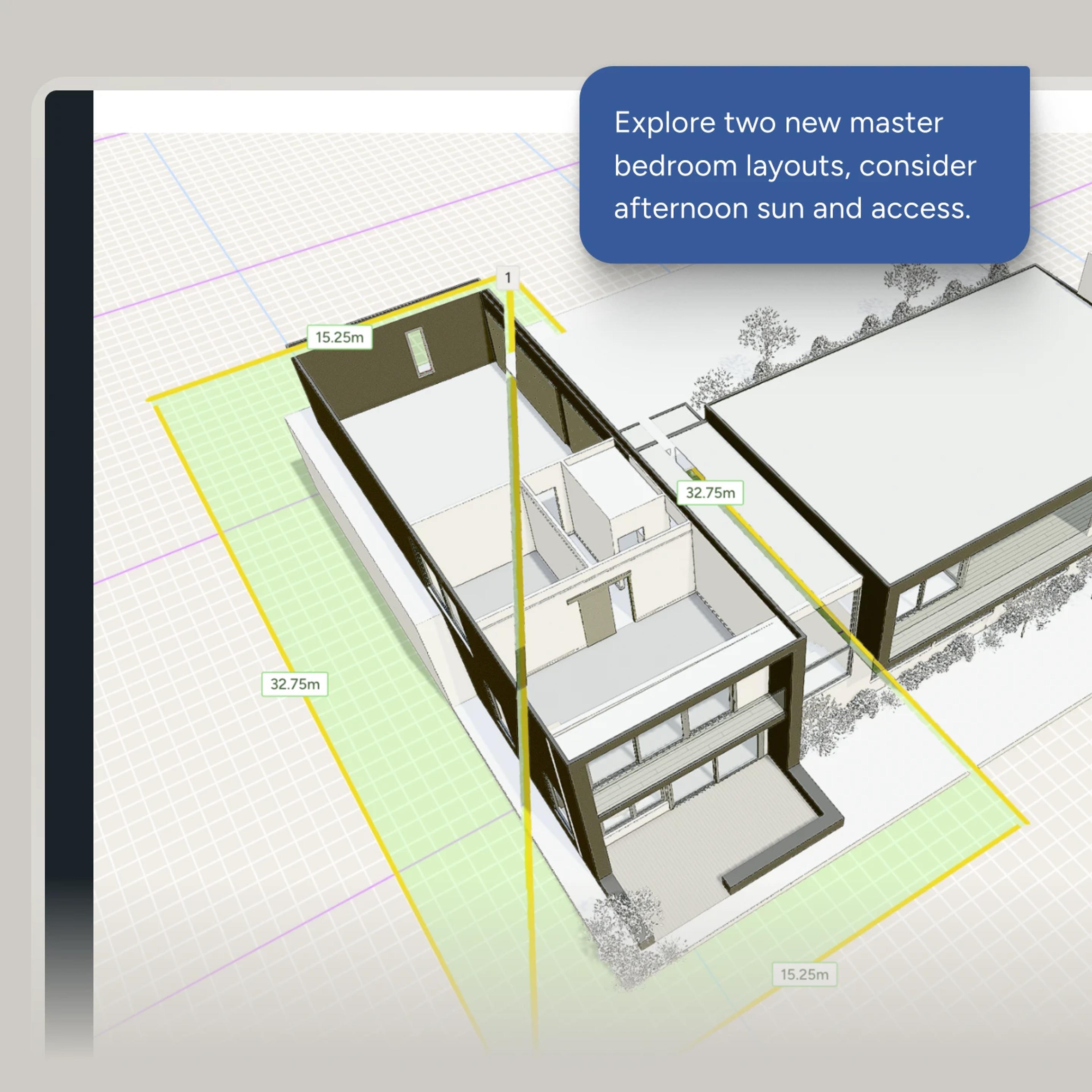
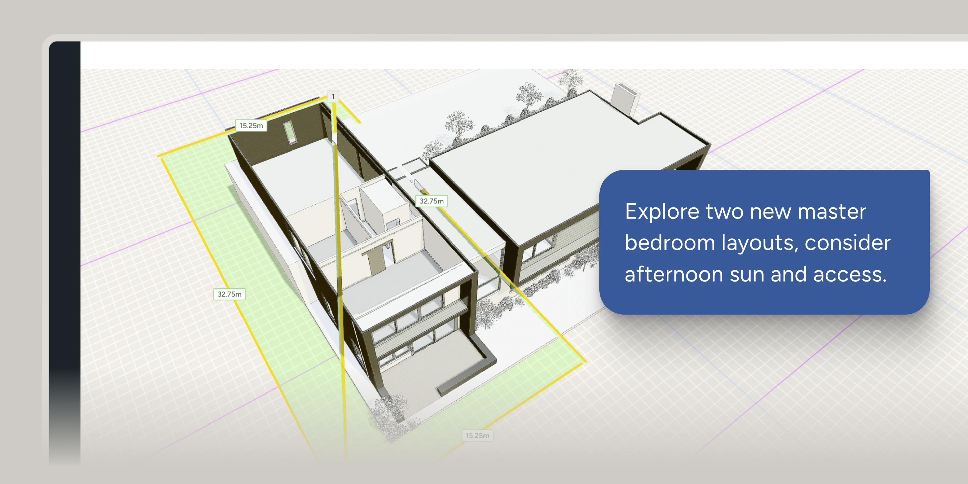
Place the project by latitude and longitude, on 3D satellite terrain, with the surrounding buildings imported. Trace the lot boundary from the map. The agents query against that geometry, not a description of it.