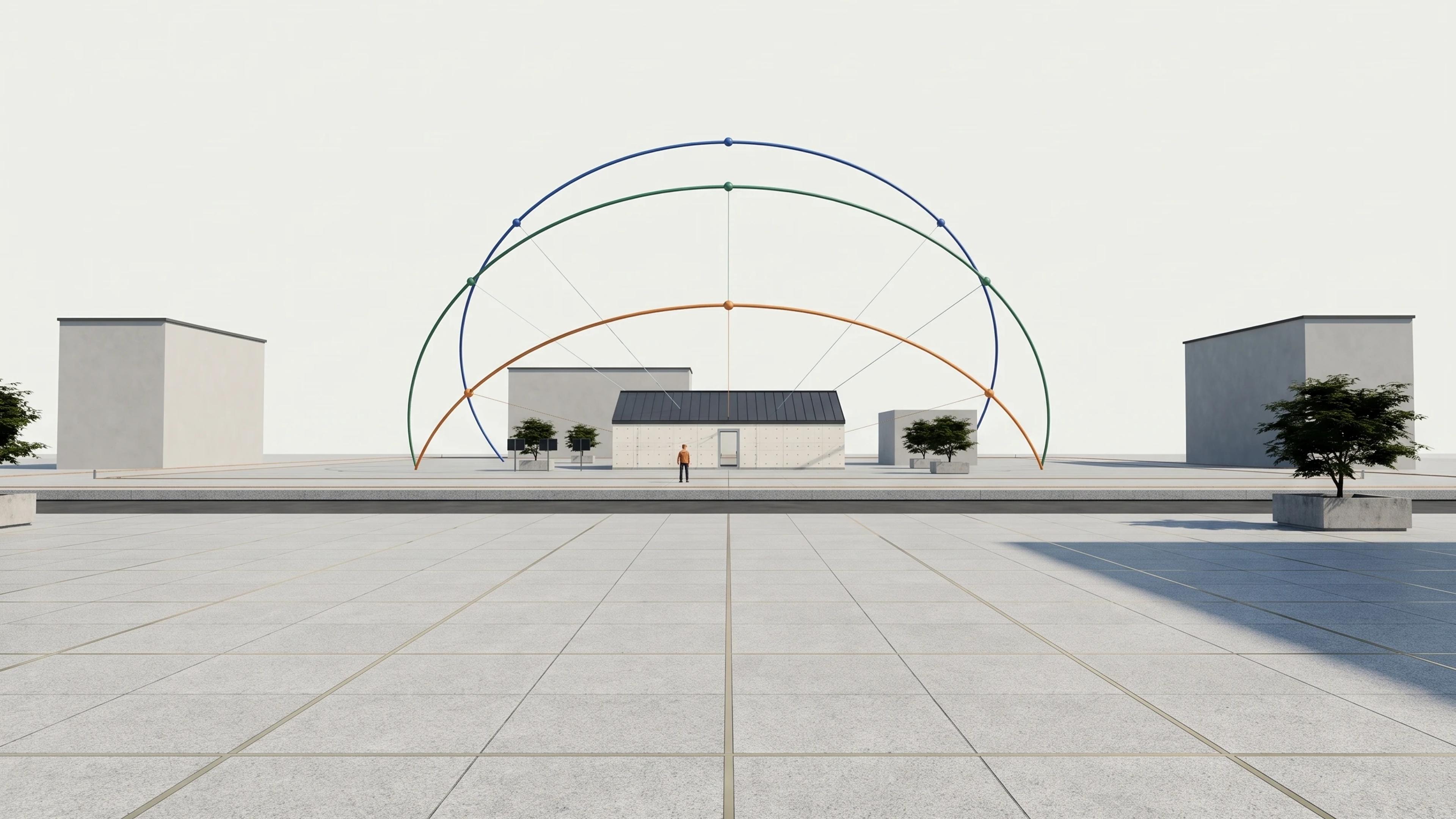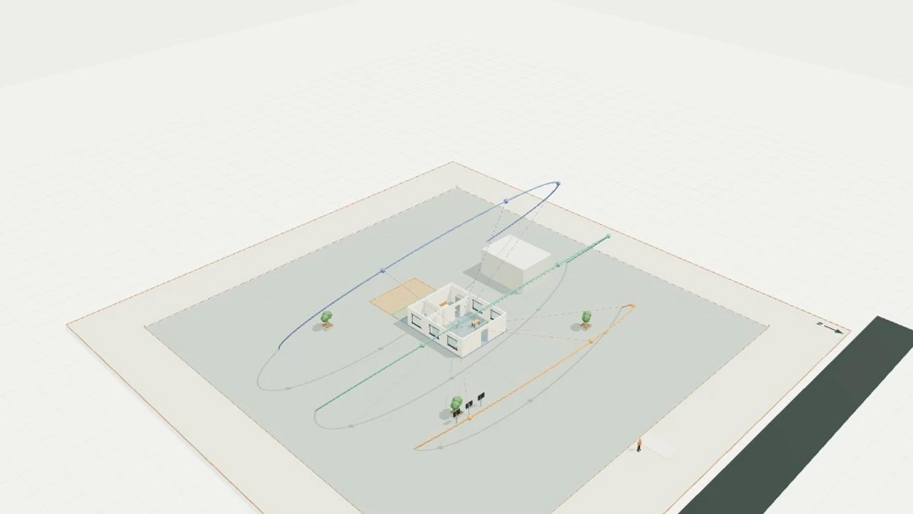
Solar-hour rig, seasonal paths and calculated shadow footprints
A single-level solar-hour rig, seasonal paths and calculated shadow footprints template with a 64 × 64 m footprint and 25 m overall height. The model includes 3 seasonal paths, 3 shadow footprints, 9 sun hour markers, 1 dwellings, 1 neighbour blocks.
Generic latitude 43.53° south; true north is -Z. Arcs use local apparent solar time, with fixed ±23.44° solstice declinations and zero equinox declination. No civil clock times, terrain horizon, refraction, weather, glare, energy or daylight compliance is modelled.
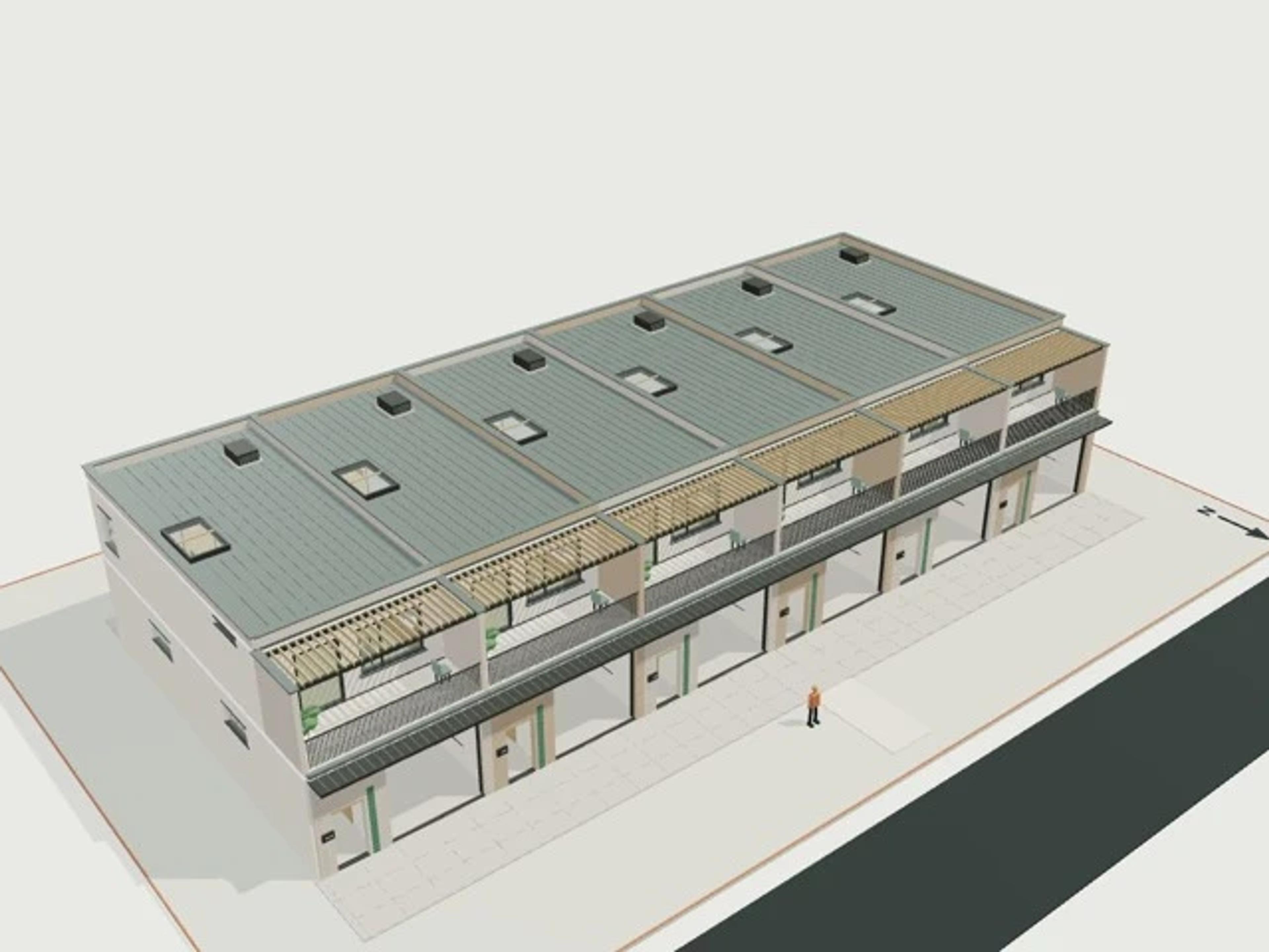
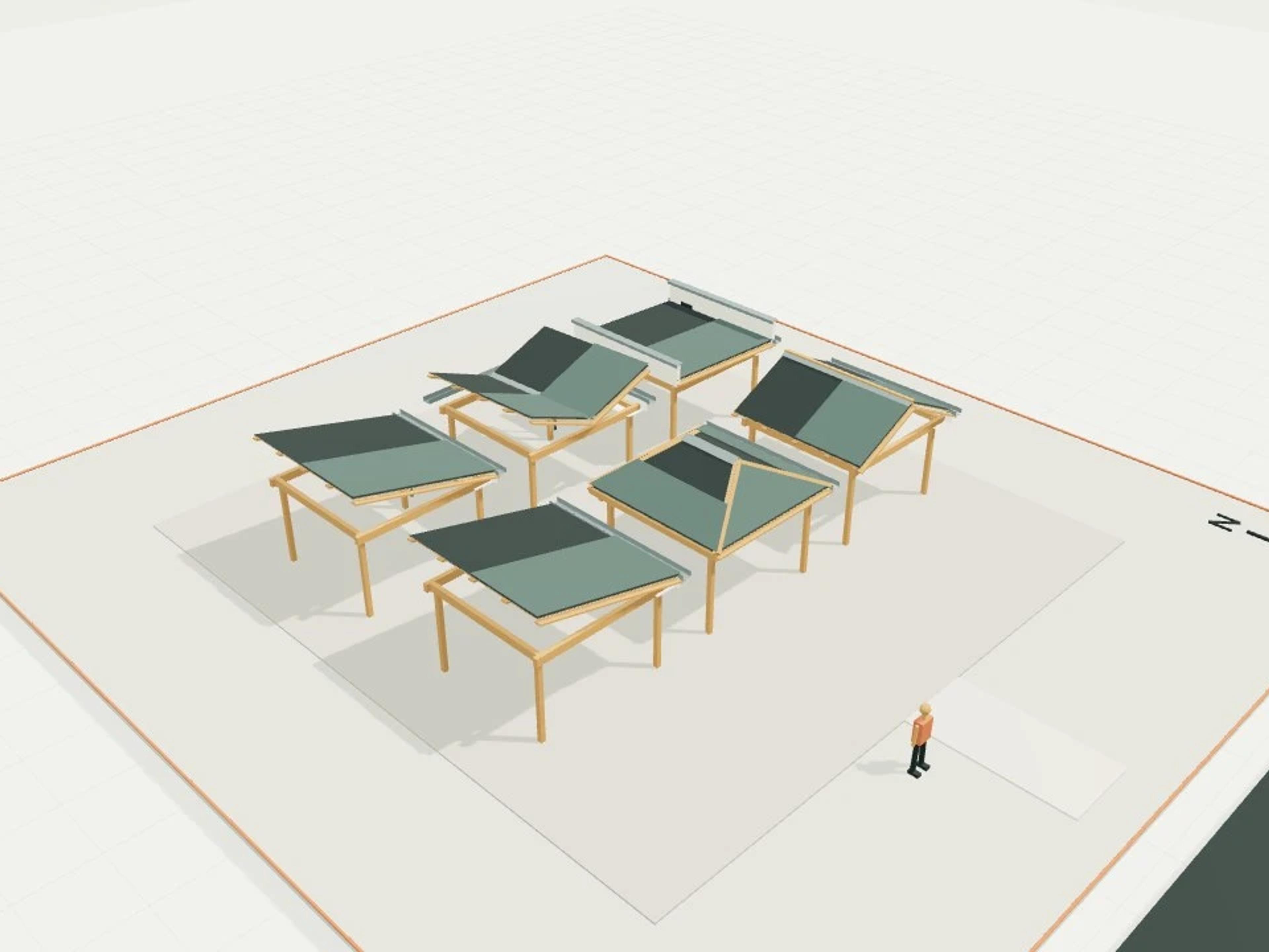
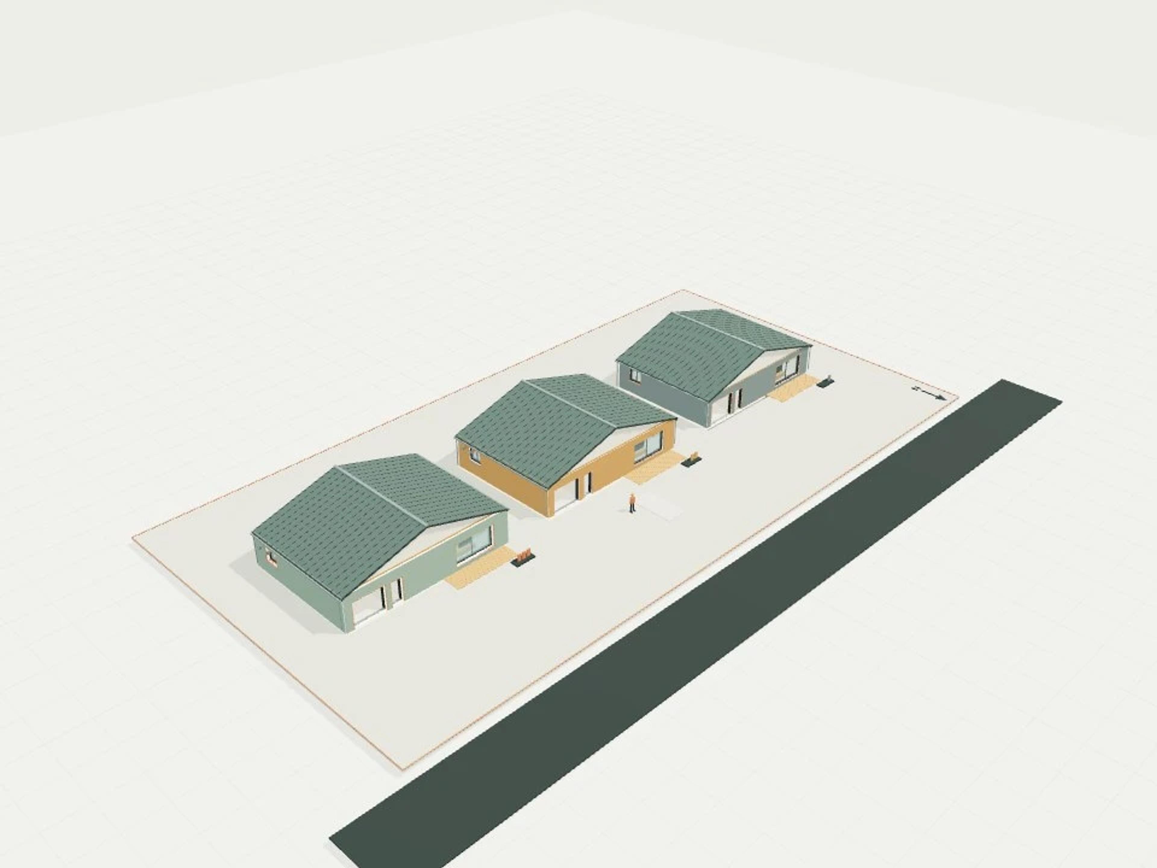
The template ships with 5 saved scenes: a street-level approach, 3 interior views and an aerial three-quarter, plus a site pad with neighbouring context massing, a north point and a 1.7 m scale figure, so you can render or edit from any of them straight away. Dimensions are nominal metric starting points informed by published precedents; it is an original design, not a survey.
Size | 64 × 64 m, 1 level |
Program | 3 seasonal paths, 3 shadow footprints, 9 sun hour markers, 1 dwellings, 1 neighbour blocks |
Scenes | 5 saved views: street, 3 model views, aerial |