Zoning
How to Read a Zoning Map & Find Zoning by Address (25 US Cities)
A zoning map shows the base district, overlays and planned-development boundaries that apply to each parcel; this guide explains how to decode the district string, confirm it parcel-first, record it properly, and where to find the official zoning-by-address portal for 25 US cities.
On this page
Last updated September 3, 2026 · Guide compiled by Harth from the official zoning map and lookup portals of the 25 cities listed, each URL verified on 2026-08-17 against the city's own site, for example [NYC ZoLa](https://zola.planning.nyc.gov/), [Los Angeles ZIMAS](https://zimas.lacity.org/) and the [City of Phoenix zoning maps](https://www.phoenix.gov/administration/departments/pdd/tools-resources/maps/zoning-maps.html). District-string conventions and the map-versus-ordinance relationship follow general US Euclidean zoning practice as described by the [American Planning Association](https://www.planning.org/). District labels, overlay suffixes and boundary-interpretation rules vary by municipality; the adopted zoning ordinance and official map for the parcel are authoritative.
Direct answer
A zoning map is the graphic half of a zoning ordinance: it draws the boundary of every base district, overlay, combining district and planned development (PD) over the parcel fabric, and the ordinance text supplies the rules for each label. To read it, locate the parcel, read its base district code (the letter names the family, such as R for residential or C for commercial, and the number or suffix sets the intensity, so R-4 is usually denser than R-1), then read any overlay suffix such as /HD-O, which layers extra standards on top of the base rules. Never infer a parcel's zoning from the colour of the surrounding block; district lines follow lot lines, alleys and street centrelines, and split-zoned lots are common. Record the parcel ID, base district, overlays, PD or case number and the map effective date, then confirm the result against the ordinance text, pending zoning cases and recent amendments. The 25 city portals listed here are the official places to check zoning by address.
Content and cited inputs reviewed by Scott Barrington, Harth founder and architectural technology specialist · Published 2026-09-03 · Updated 2026-09-03.
What are the key takeaways?
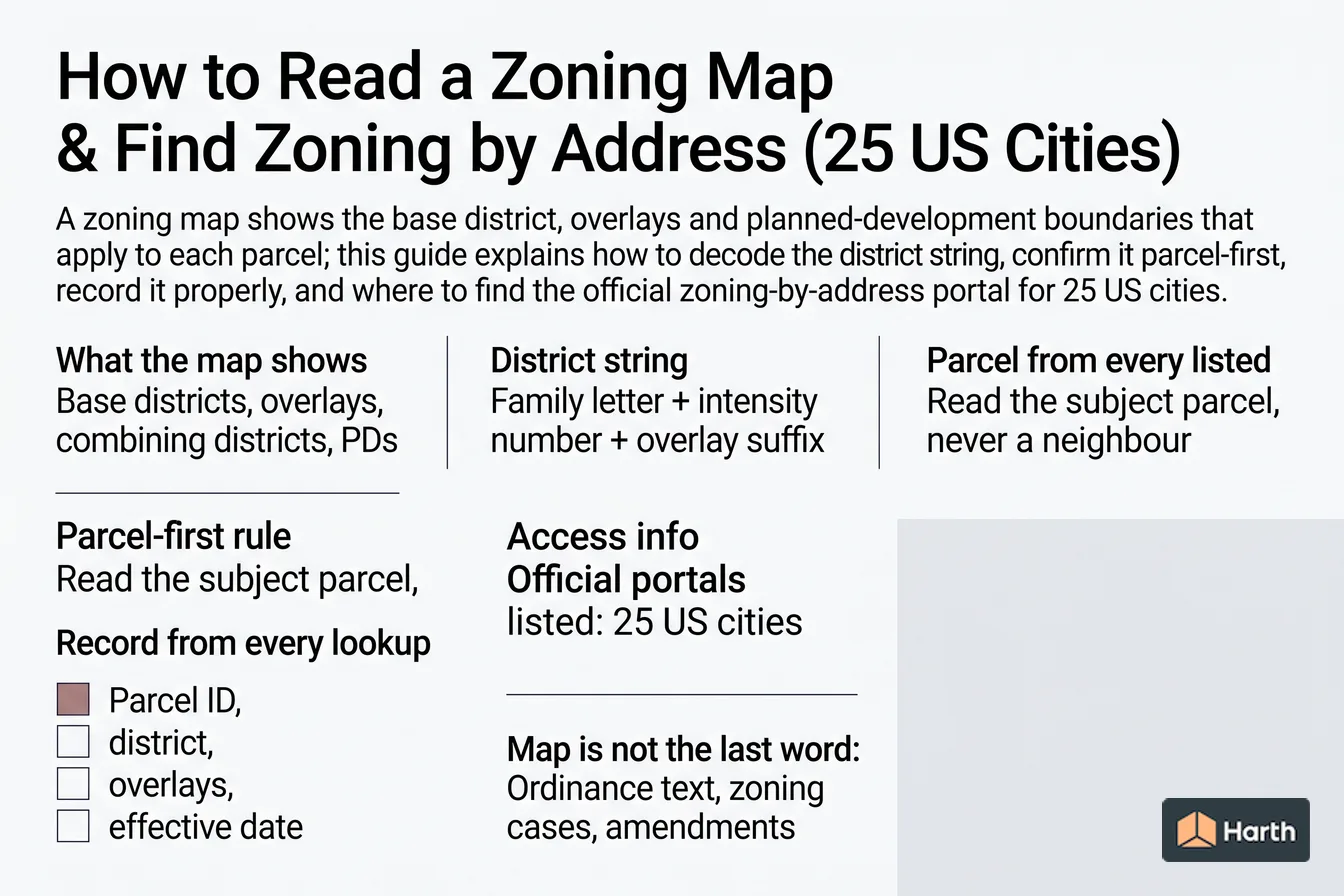
- What the map shows: Base districts, overlays, combining districts, PDs
- District string: Family letter + intensity number + overlay suffix
- Parcel-first rule: Read the subject parcel, never a neighbour
- Record from every lookup: Parcel ID, district, overlays, effective date
What does a zoning map actually show?
A zoning map is the graphic companion to a zoning ordinance. The ordinance text defines each district and its rules; the map says which district applies to which land. Most US city maps carry four kinds of information layered over the parcel base:
| Layer | What it is | How it usually appears on the map |
|---|---|---|
| Base district | The primary zoning classification (residential, commercial, industrial, mixed-use, open space) | Solid colour fill with a code label such as R-4, C-2, I-1, MU-3 |
| Overlay district | A second district that adds, modifies or removes standards for a defined area (historic, airport, floodplain, corridor, design, transit) | Hatch, outline or a suffix such as -O, /HD or (H) |
| Combining or conditional district | A modifier attached to the base district for one site or block, often carrying conditions from a rezoning case | Suffix or prefix such as -CD, -SP, PUD, or a case number |
| Planned development (PD/PUD) | A negotiated district whose rules live in the approved development plan and ordinance for that site, not in the general district table | PD-123 or PUD label, sometimes with a plan reference |
Two things the map does not show: the actual dimensional and use standards (those are in the ordinance text) and anything outside zoning, such as building code, deed restrictions, easements, historic designation, or flood zones mapped by FEMA.
How do you read a zoning district string such as R-4 or C-2/HD-O?
Every city writes its labels differently, but most follow a family-letter, intensity-number, modifier-suffix pattern:
| String | Read it as | Typical meaning (verify in the ordinance) |
|---|---|---|
| R-4 | Residential family, intensity 4 | A denser residential district than R-1, often allowing townhouses or small multifamily |
| C-2/HD-O | Commercial family, intensity 2, with a Historic District overlay | General commercial uses, with historic design review layered on top |
| MU-3 | Mixed-use family, intensity 3 | Residential over commercial with a mid-range height or FAR limit |
| I-1 or M-1 | Industrial or manufacturing, intensity 1 | Light industrial; the higher numbers are usually heavier |
| PD-2019-045 | Planned development, case reference | Rules come from the approved PD ordinance for that site |
| R-4 (CD) | Residential intensity 4, conditional district | Base district plus conditions attached in a rezoning case |
The letter tells you which use table to open. The number tells you which row of the dimensional table to read, but the direction is not universal: in some cities higher numbers mean denser, in others they mean larger minimum lot sizes. The suffix tells you that a second set of rules applies and the ordinance states which controls when they conflict. If a string contains a case number, the map is pointing you to a document, not a district table.
Why must you read zoning parcel-first, never from the neighbours?
District boundaries are drawn to lot lines, alley or street centrelines, or a dimensioned offset from a right-of-way, and they change at corners, along rear lot lines and mid-block far more often than the colour blocks suggest. The practical consequences:
- Adjoining lots on the same street can be in different base districts or different overlays.
- A single parcel can be split-zoned, with the ordinance's boundary-interpretation section (often titled "Zoning district boundaries" or "Interpretation of district boundaries") deciding how each part is treated.
- A corner lot may fall inside a corridor or transit overlay while the lot behind it does not.
- Recently rezoned parcels may show the new district before the case conditions are visible anywhere but the case file.
Search the portal by the subject address or parcel ID, click the parcel itself, and read the attributes returned for that polygon. If the portal offers a "zoning cases" or "pending rezonings" layer, switch it on before recording anything.
What should you record from a zoning map lookup?
Treat the lookup like a survey: capture enough that anyone can reproduce the result later.
| Field | Why it matters |
|---|---|
| Parcel, account or PIN number | The stable key; addresses change and are ambiguous on corner and multi-building lots |
| Base district code and full name | The name disambiguates cities that reuse the same letters across ordinances |
| Every overlay, combining district or conditional suffix | Each one adds or overrides standards |
| PD or zoning case number, if shown | The rules for that site live in the case ordinance |
| Map effective date or data-refresh date | Portals lag adopted rezonings by days to months |
| Portal URL and date checked, plus a screenshot | Gives the project file a defensible record |
Where is the zoning map not the last word?
The map identifies the district. Four other places can change the answer:
- Ordinance text. Use tables, dimensional standards, parking, and exceptions all sit in the code, and the code may have been amended after the map was published.
- Zoning cases. Pending or recently approved rezonings, variances, special use permits and PD amendments attach conditions the map cannot show.
- Map amendments. Cities adopt map amendments by ordinance; the GIS layer usually catches up later, so check the amendment log or the case search.
- Non-zoning constraints. Historic designation, FEMA flood zones, easements, deed restrictions, HOA covenants, airport height surfaces and environmental overlays are regulated outside the zoning ordinance and rarely appear on the zoning map.
How do you find the zoning map for Fort Worth, San Jose, Detroit or Phoenix?
Each of those cities publishes an official map or lookup tool, listed with the other 21 cities in the portal table on this page. Fort Worth and Phoenix serve interactive maps through their development-services and planning pages, San Jose routes address searches through a dedicated check-zoning page, and Detroit publishes a zoning map index by sheet. In every case, confirm the district in the ordinance text and check the city's zoning case search before relying on the result; verify against the adopted ordinance and local amendments.
Official zoning map portals for 25 US cities
Each link goes to the city's own zoning map or zoning-lookup page. Houston has no conventional zoning, so its portal covers development regulations instead.
| City | Official zoning map / lookup | Verified |
|---|---|---|
| New York, NY | zola.planning.nyc.gov | 2026-08-17 |
| Los Angeles, CA | zimas.lacity.org | 2026-08-17 |
| Chicago, IL | chicago.gov | 2026-08-17 |
| Houston, TX | houstontx.gov (no conventional zoning; development regulations) | 2026-08-17 |
| Phoenix, AZ | phoenix.gov | 2026-08-17 |
| Philadelphia, PA | phila.gov | 2026-08-17 |
| San Antonio, TX | sa.gov | 2026-08-17 |
| San Diego, CA | sandiego.gov | 2026-08-17 |
| Dallas, TX | developmentweb.dallascityhall.com | 2026-08-17 |
| San Jose, CA | sanjoseca.gov | 2026-08-17 |
| Jacksonville, FL | jacksonville.gov | 2026-08-17 |
| Fort Worth, TX | fortworthtexas.gov | 2026-08-17 |
| Columbus, OH | columbus.gov | 2026-08-17 |
| Indianapolis, IN | maps.indy.gov | 2026-08-17 |
| Charlotte, NC | charlottenc.gov | 2026-08-17 |
| Seattle, WA | seattle.gov | 2026-08-17 |
| Denver, CO | denvergov.org | 2026-08-17 |
| Washington, DC | maps.dcoz.dc.gov | 2026-08-17 |
| Boston, MA | maps.bostonplans.org | 2026-08-17 |
| Nashville, TN | maps.nashville.gov | 2026-08-17 |
| Portland, OR | portlandmaps.com | 2026-08-17 |
| Las Vegas, NV | lasvegasnevada.gov | 2026-08-17 |
| Detroit, MI | detroitmi.gov | 2026-08-17 |
| Baltimore, MD | baltimorecity.gov | 2026-08-17 |
| Minneapolis, MN | minneapolismn.gov | 2026-08-17 |
Parcel zoning record checklist
Complete one row set per parcel before any massing or feasibility work starts.
| Field | What to enter | Source |
|---|---|---|
| Address and parcel/account ID | Full address plus the assessor or GIS parcel number | Assessor record or portal parcel attributes |
| Base zoning district | Code and full district name | Official map lookup on the subject parcel |
| Overlays and combining districts | Every suffix, hatch or overlay layer that intersects the parcel | Official map with overlay layers switched on |
| Planned development or case number | PD/PUD label or rezoning case reference, if any | Map label and the city's zoning case search |
| Split-zoning check | Yes or no; if yes, cite the ordinance boundary-interpretation section | Parcel polygon versus district boundary |
| Map effective or data-refresh date | Date shown on the portal or map sheet | Portal footer, legend or metadata |
| Pending cases or amendments | Any open rezoning, variance or map amendment on or adjacent to the parcel | Zoning case search or planning commission agenda |
| Non-zoning constraints | Historic designation, FEMA flood zone, easements, deed restrictions, airport surfaces | Separate city, county and federal sources |
| Portal URL, date checked, screenshot filename | Reproducibility record | Your project file |
Where can you explore related guidance?
- Explore all zoning guidance
- Zoning Districts Explained: Residential to Mixed-Use
- Floor Area Ratio (FAR): Calculation & Worked Example
- Residential Setback Requirements: Front, Side & Rear Explained
Sources and method
Guide compiled by Harth from the official zoning map and lookup portals of the 25 cities listed, each URL verified on 2026-08-17 against the city's own site, for example NYC ZoLa, Los Angeles ZIMAS and the City of Phoenix zoning maps. District-string conventions and the map-versus-ordinance relationship follow general US Euclidean zoning practice as described by the American Planning Association. District labels, overlay suffixes and boundary-interpretation rules vary by municipality; the adopted zoning ordinance and official map for the parcel are authoritative.
Source links
Frequently asked questions
What does a zoning district code like R-4 mean?
The letter names the district family and the number or suffix sets the intensity, so R-4 is usually a denser residential district than R-1. The exact meaning exists only in that city's ordinance: R-4 in Fort Worth is not R-4 in Phoenix, so read the ordinance definition, not just the label.
How do I check zoning by address?
Open the city's official zoning map or lookup portal, search the address or parcel ID, and read the district, overlays and any planned-development label on that parcel. Note the effective or data-refresh date, then open the ordinance section for the district. For 25 large US cities the official portals are listed on this page.
Can I infer zoning from the neighbouring lots?
No. District boundaries follow lot lines, alleys, street centrelines or dimensioned offsets, and a single lot can be split between two districts. Adjoining lots can sit in different districts or overlays, so read the subject parcel itself and, if a boundary runs through it, apply the ordinance's boundary-interpretation rule.
What is a zoning overlay or combining district?
An overlay is a second district drawn over the base district that adds, modifies or removes standards for a defined area, such as a historic, airport, floodplain, corridor or design overlay. It appears as a suffix or hatch on the map (C-2/HD-O, for example) and the ordinance states which rule governs when the two conflict.
Is the zoning map the final answer on what I can build?
No. The map identifies the district; the ordinance text sets the uses and dimensions, and pending zoning cases, recent amendments and conditions attached to a planned development can change the answer. Historic designation, FEMA flood zones, easements and deed restrictions sit outside the zoning map entirely.
What should I record from a zoning map lookup?
Record the parcel or account ID, the base district, every overlay or combining district, any PD or zoning case number, the map effective date or data-refresh date, the portal URL and the date you checked. A screenshot of the lookup result gives the project file a defensible record if the map changes later.
Related pages
- Floor Area Ratio (FAR): Calculation & Worked Example
Calculate floor area ratio from lot area, distinguish gross-floor-area rules and exemptions, and follow a worked development-capacity example.
- Residential Setback Requirements: Front, Side & Rear Explained
Learn how front, side, and rear setbacks are measured, review illustrative district ranges, and verify the parcel-specific local controls.
- Zoning Districts Explained: Residential to Mixed-Use
Understand residential, commercial, industrial, and mixed-use zoning districts, then verify permitted uses and dimensional standards for a parcel.
- Zoning in Austin, TX: District Families & Illustrative Standards
Understand Austin zoning district families and the parcel controls architects must verify in the current Land Development Code and official map.