Zoning
Zoning Districts Explained: Residential to Mixed-Use
How zoning districts partition a city into use categories, and what each district family typically permits, restricts, and controls dimensionally.
On this page
Last updated August 14, 2026 · Concept explainer based on standard U.S. Euclidean and form-based zoning practice. District names, permitted uses, and every dimensional standard vary by municipality; the local zoning ordinance and official zoning map for the parcel are authoritative. Ranges below are illustrative, not code citations. Official references: [NYC Zoning Resolution](https://zr.planning.nyc.gov/).
Direct answer
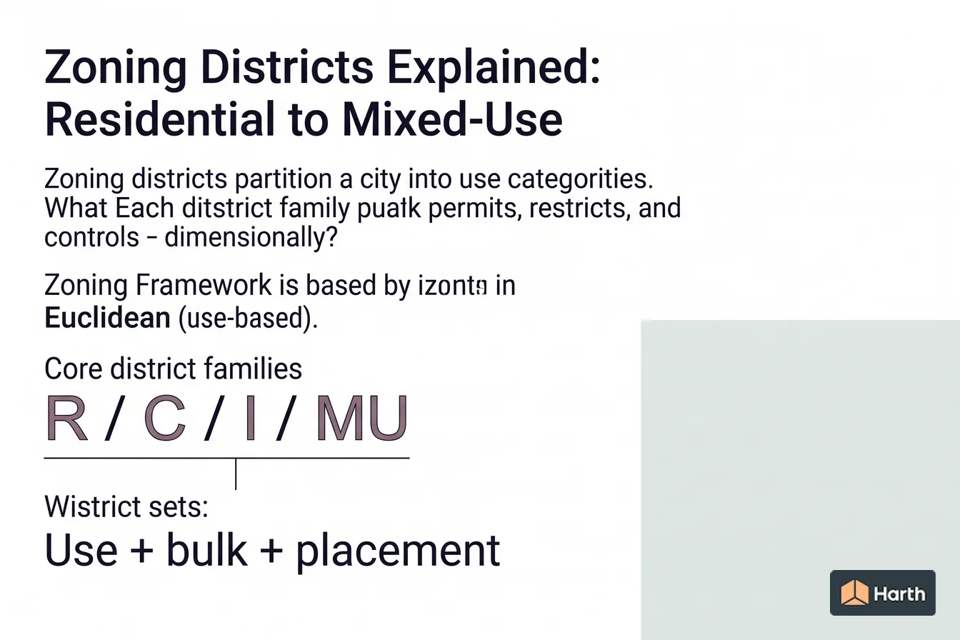
How zoning districts partition a city into use categories, and what each district family typically permits, restricts, and controls dimensionally. A key reference is zoning framework: Euclidean (use-based); check the cited source, edition, units, and applicability before using it for design, compliance, procurement, or approval. Zoning framework is Euclidean (use-based); most common U.S. model. Core district families is R / C / I / MU; residential, commercial, industrial, mixed-use. What a district sets is Use + bulk + placement; allowed uses, FAR, height, setbacks, coverage. Every zoning district answers three questions for the parcels inside it: Read the values with the cited source, edition or observation period, units and applicability; replace illustrative inputs with current project evidence before design, procurement or approval use. Retain the source file, retrieval date, assumptions and named checker in the project record so the result can be reproduced and reviewed when the governing information changes.
Content and cited inputs reviewed by Harth team · Published 2026-08-14 · Updated 2026-08-14.
What does this term mean?
Zoning Districts Explained: How zoning districts partition a city into use categories, and what each district family typically permits, restricts, and controls dimensionally.
Which parcel controls must be checked?
Every zoning district answers three questions for the parcels inside it:
- Use — what activities are allowed (dwelling, retail, manufacturing, office)?
- Bulk — how much building is allowed (floor area ratio, height, number of stories)?
- Placement — where can the building sit (setbacks, lot coverage, build-to lines)?
The zoning map assigns each parcel to a district; the ordinance's use table and dimensional table supply the rules. Both must be read together for a real project.
The four district families
Most ordinances organize districts into families, often with intensity tiers inside each (for example R-1 through R-5 from least to most dense). Names and codes vary widely by city.
| Family | Typical purpose | Common by-right uses | Illustrative intensity |
|---|---|---|---|
| Residential (R) | Housing | Single-family, duplex, multifamily by tier | Low FAR, height ~28–45 ft |
| Commercial (C) | Retail, office, services | Shops, offices, restaurants, hotels | Moderate FAR, height varies widely |
| Industrial (I / M) | Production, logistics | Manufacturing, warehouse, distribution | High lot coverage, height for equipment |
| Mixed-use (MU) | Housing over active ground floor | Ground-floor retail + upper residential | Higher FAR, form-based frontage |
These are directional characterizations only — the actual permitted uses and numbers live in the local code.
Overlays and special districts
Beyond base districts, cities layer overlay districts (historic, floodplain, transit, design review) that add or modify standards on top of the base zoning. A parcel can carry a base district and one or more overlays at once, and the overlay usually controls where it conflicts. Planned Unit Developments (PUDs) and specific plans can replace base standards entirely with a negotiated set.
How to use this for a project
- Pull the parcel's base district from the official zoning map.
- Read the use table to confirm your program is permitted or needs a conditional-use permit.
- Read the dimensional table for FAR, height, setbacks, and coverage.
- Check for overlays that modify any of the above.
From there, the floor area ratio and setback pages explain the two standards that most often drive early massing.
Understanding Zoning Districts: Residential, Commercial, Industrial & Mixed-Use: parcel-control verification record
| Planning field | Project entry | Official evidence |
|---|---|---|
| Address, parcel and lot geometry | — | Survey / assessor record |
| Base zoning district | — | Official map lookup and capture date |
| Overlays / special districts | — | Official map and ordinance references |
| Use and approval pathway | — | Current use table / authority advice |
| FAR, coverage and floor-area definition | — | Ordinance section and calculation |
| Height, setbacks and yards | — | Ordinance sections and lot-line basis |
| Exceptions, variances and prior approvals | — | Recorded decisions / property file |
| Planner / qualified reviewer and date | — | Project QA record |
Project-use verification: leave controls blank until the parcel, map, ordinance and overlays agree. The authority having jurisdiction and recorded approvals control.
Where can you explore related guidance?
- Explore all zoning guidance
- Floor Area Ratio (FAR): Meaning, Formula & Worked Example
- Residential Setback Requirements: Front, Side & Rear Explained
- Zoning in Austin, TX: District Families & Illustrative Standards
Sources and method
Concept explainer based on standard U.S. Euclidean and form-based zoning practice. District names, permitted uses, and every dimensional standard vary by municipality; the local zoning ordinance and official zoning map for the parcel are authoritative. Ranges below are illustrative, not code citations. Official references: NYC Zoning Resolution.
Source links
Frequently asked questions
What is a zoning district?
A zoning district is a mapped area where a single set of rules applies to every parcel. Those rules cover permitted uses (what activities are allowed), and bulk and placement standards (how large a building can be and where it can sit on the lot). A city's zoning map assigns every parcel to a district, and the zoning ordinance spells out the standards for each. Districts are usually labeled with a letter-number code such as R-1, C-2, or M-1, but the codes and their meanings differ from city to city.
What is the difference between permitted, conditional, and prohibited uses?
Permitted (or by-right) uses are allowed without special approval as long as the design meets the standards. Conditional uses are allowed only with discretionary review — a public hearing, findings, and often conditions attached to the approval. Prohibited uses are not allowed in that district at all. A use table in the ordinance lists, for each district, which category each use falls into. Because the same use can be by-right in one district and conditional in the next, always check the table for the specific district.
How do Euclidean and form-based districts differ?
Euclidean zoning — the traditional U.S. model — separates land by use and controls bulk with numeric standards like FAR, height, and setbacks. Form-based codes instead regulate the physical form of buildings and the character of the street, using building types and frontage standards, and treat use more loosely. Many cities now use a hybrid, so a single ordinance may contain both conventional use-based districts and form-based or overlay districts.
Related pages
- Floor Area Ratio (FAR): Meaning, Formula & Worked Example
What FAR stands for in real estate and construction, the floor area ratio formula, FAR-to-storeys examples, and real zoning-district FAR limits.
- How to Read a Zoning Map & Find Zoning by Address (25 US Cities)
Decode zoning map codes such as R-4 or C-2/HD-O, check zoning by address parcel-first, and use official lookup portals for 25 US cities, verified 2026-08-17.
- Residential Setback Requirements: Front, Side & Rear Explained
What a setback is, how to find your property's setbacks, why the US has no national setback law (IRC R302.1), plus driveways, corner lots and encroachments.
- Zoning in Austin, TX: District Families & Illustrative Standards
Understand Austin zoning district families and the parcel controls architects must verify in the current Land Development Code and official map.