Zoning
Zoning in Austin, TX: District Families & Illustrative Standards
A high-level orientation to Austin's zoning district families under its Land Development Code, with illustrative dimensional standards clearly framed as non-authoritative.
On this page
Last updated August 17, 2026 · High-level orientation to Austin's zoning structure under its Land Development Code (LDC). District families are described at a conceptual level; Austin has amended its code repeatedly. All dimensional figures are illustrative and NOT reproduced from the LDC. The City of Austin Land Development Code and official zoning map are authoritative — verify any parcel with the city. Official references: [City of Austin Land Development Code](https://www.austintexas.gov/planning/city-and-land-development-code).
Direct answer
A high-level orientation to Austin's zoning district families under its Land Development Code, with illustrative dimensional standards clearly framed as non-authoritative. A key reference is governing code: Land Development Code; check the cited source, edition, units, and applicability before using it for design, compliance, procurement, or approval. Governing code is Land Development Code; City of Austin, frequently amended. District families is Residential / commercial / industrial; plus overlays & PUDs. All numbers here is Illustrative only; verify against the LDC. This is a high-level orientation to how zoning is structured in Austin, Texas, under its Land Development Code (LDC) — not a code reference. Austin has amended its development regulations repeatedly, district labels and standards shift, and every parcel can carry overlays or a PUD. Treat everything below as directional and verify against the city's official code and zoning map.
Content and cited inputs reviewed by Harth team · Published 2026-08-14 · Updated 2026-08-17.
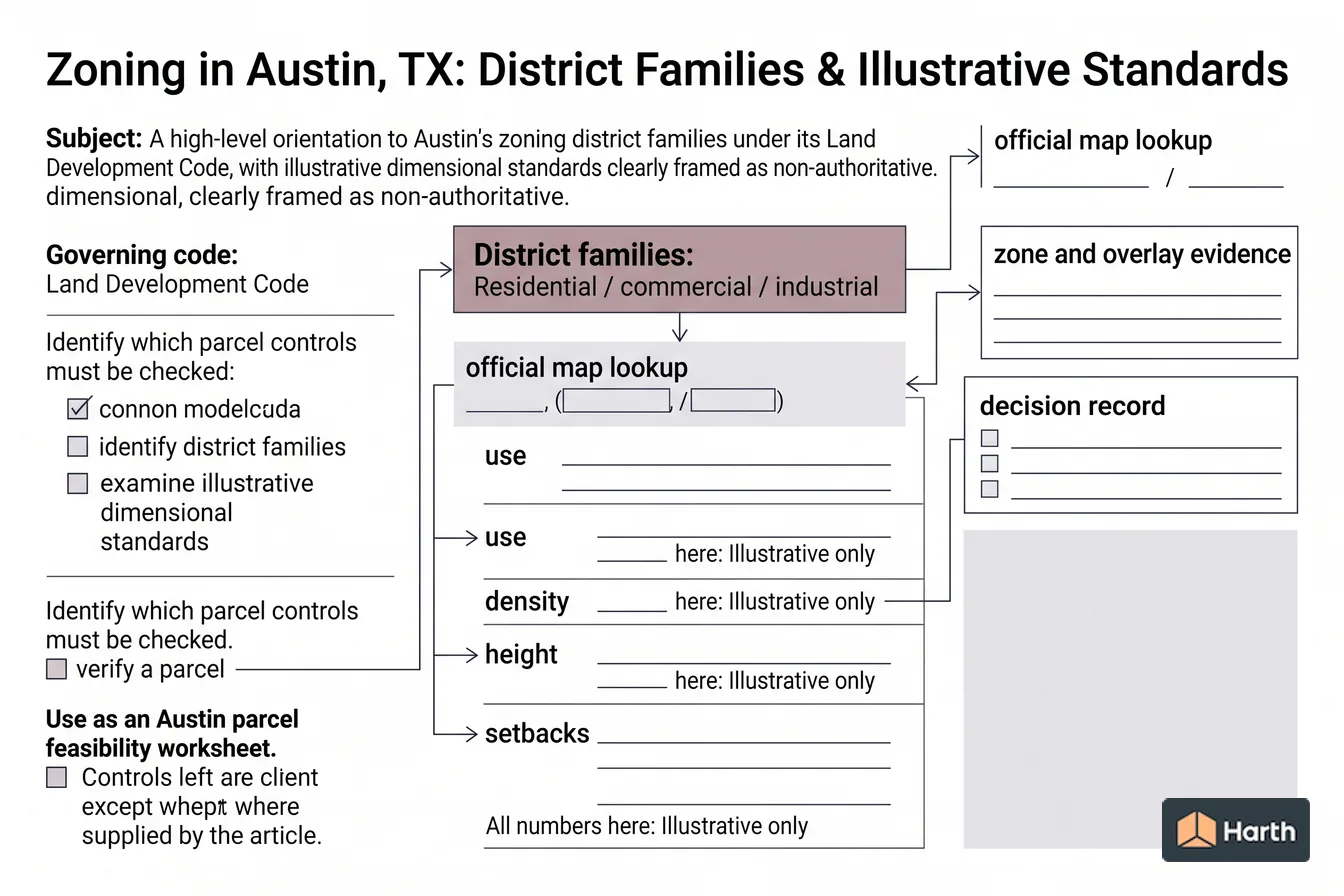
Which parcel controls must be checked?
This is a high-level orientation to how zoning is structured in Austin, Texas, under its Land Development Code (LDC) — not a code reference. Austin has amended its development regulations repeatedly, district labels and standards shift, and every parcel can carry overlays or a PUD. Treat everything below as directional and verify against the city's official code and zoning map.
District families under the LDC
Austin's base districts fall into familiar families, each with intensity tiers:
| Family | Role | Typical programs |
|---|---|---|
| Residential | Housing across densities | Single-family, small-lot, townhouse, multifamily |
| Commercial / mixed-use | Retail, office, services, housing | Neighborhood retail, corridors, mixed-use |
| Industrial | Production and logistics | Light and general industrial, warehousing |
On top of the base districts, Austin uses overlays (such as neighborhood, corridor, and environmental overlays), combining districts, and PUDs that can replace base standards with a negotiated set.
Illustrative dimensional standards
The figures below are illustrative only — they show the type of standard each family applies, not Austin's actual limits.
| District family | Illustrative FAR | Illustrative height | Illustrative front setback |
|---|---|---|---|
| Single-family residential | 0.4–0.6 | ~30–35 ft | 15–25 ft |
| Multifamily / mixed-use | 1.0–3.0+ | 40–60+ ft | 10–15 ft |
| Commercial corridor | 1.0–2.0+ | varies | 10–25 ft |
| Industrial | high coverage | varies | varies |
Do not design to these numbers. Pull the controlling FAR, height, setbacks, and lot coverage for the specific district from the LDC.
Verifying a parcel
- Find the parcel's base district and overlays on the City of Austin zoning map.
- Read the matching use and dimensional standards in the Land Development Code.
- Confirm recent amendments and any PUD or overlay with Austin planning staff.
For the underlying concepts behind these standards, see understanding zoning districts, floor area ratio, and residential setbacks.
Austin parcel feasibility worksheet
Austin’s official zoning resources say zoning controls height, bulk/FAR, setbacks, building coverage and impervious cover, and that combining districts can modify the base district. Complete the official-data chain before drawing an envelope.
| Step | Record | Source / calculation |
|---|---|---|
| 1. Jurisdiction | City limits and parcel identifier | City parcel or property lookup |
| 2. Base zoning | Full zoning string and case number | City zoning-by-address dataset |
| 3. Combining districts | CO, NCCD, CVC, PUD or other modifiers | Map, ordinance and zoning case |
| 4. Allowed use | Proposed use status and conditions | Current Land Development Code use chart |
| 5. Dimensional controls | FAR, height, setbacks, coverage, impervious cover | LDC §25-2-492 plus district-specific rules |
| 6. Other constraints | Compatibility, heritage, floodplain, trees, easements | Controlling maps and agency records |
| 7. Envelope | Lot polygon minus setbacks; cap floor area by lot area × verified FAR | Reproducible geometry and assumption log |
| 8. Verification | Amendment check and zoning verification if warranted | City record, reviewer and date |
Never infer buildability from the base district alone. Keep every source URL, ordinance or case identifier, effective date and retrieval date with the parcel record.
Where can you explore related guidance?
- Explore all zoning guidance
- Zoning Districts Explained: Residential to Mixed-Use
- Floor Area Ratio (FAR): Meaning, Formula & Worked Example
- Residential Setback Requirements: Front, Side & Rear Explained
- Climate Design Data Workflow for Austin, TX
- Sun Path & Solar Angles for Austin, TX
Sources and method
High-level orientation to Austin's zoning structure under its Land Development Code (LDC). District families are described at a conceptual level; Austin has amended its code repeatedly. All dimensional figures are illustrative and NOT reproduced from the LDC. The City of Austin Land Development Code and official zoning map are authoritative — verify any parcel with the city. Official references: City of Austin Land Development Code.
Source links
Frequently asked questions
What zoning districts does Austin use?
Austin's Land Development Code organizes base districts into families — residential (from large-lot single-family through higher-density multifamily), commercial and mixed-use, and industrial — each with intensity tiers and its own use and dimensional standards. The city also uses overlays, combining districts, and Planned Unit Developments that tailor standards to a site. Because Austin has amended its code repeatedly and district labels and standards change, confirm a parcel's current base district on the city's official zoning map.
Are the numbers on this page Austin's actual limits?
No. The dimensional figures here are illustrative and meant only to orient a designer to the kinds of standards Austin's districts apply — they are not reproduced from the Land Development Code and should not be used for design decisions. The City of Austin Land Development Code and zoning map are the authoritative sources, and a parcel may carry overlays or a PUD that override the base standards entirely.
How do I verify zoning for a specific Austin parcel?
Look the parcel up on the City of Austin's official zoning map to find its base district and any overlays, then read the corresponding sections of the Land Development Code for use and dimensional standards. For anything with entitlement risk, contact Austin's Development Services / planning staff directly — they can confirm the controlling district, applicable overlays, and any recent code amendments that affect the site.
Related pages
- Floor Area Ratio (FAR): Meaning, Formula & Worked Example
What FAR stands for in real estate and construction, the floor area ratio formula, FAR-to-storeys examples, and real zoning-district FAR limits.
- How to Read a Zoning Map & Find Zoning by Address (25 US Cities)
Decode zoning map codes such as R-4 or C-2/HD-O, check zoning by address parcel-first, and use official lookup portals for 25 US cities, verified 2026-08-17.
- Residential Setback Requirements: Front, Side & Rear Explained
What a setback is, how to find your property's setbacks, why the US has no national setback law (IRC R302.1), plus driveways, corner lots and encroachments.
- Zoning Districts Explained: Residential to Mixed-Use
Understand residential, commercial, industrial, and mixed-use zoning districts, then verify permitted uses and dimensional standards for a parcel.